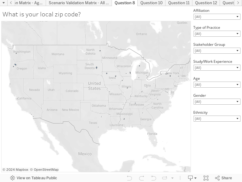
Survey respondents were asked to identify their location based on zip code. You can zoom in and out of the map to see the geographic spread, and you can hover over each shaded zip code to see the Zip Code and the number of respondents. For example, you can zoom in on the island of Hawaii and see spread of survey responses.
Key things to note:
There appears to a good spread of responses across country.
Understandably, high population zip codes in cities tend to have more responses, and responses are clustered within the major cities.